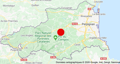
Joch’s territory stretches over an area covering 337 « hectares » ( 832.39 acres of land) almost in the middle of the « département des Pyrénées orientales », at the foot of Mount Canigo ( 2785m / 9134.8 feet high)
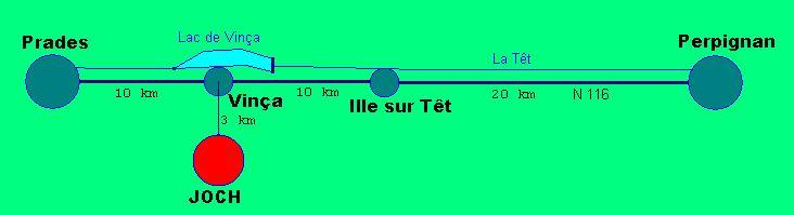
Its neighbouring administrative districts (villages) are Vinça ( to the north), Finestret (to the west/ south west) Glorianes (to the south west) and Rigarda ( to the east)
The village of Joch ( the « commune »/ the administrative district) rises from 300m ( 984 feet) high at the « cami de l’estrade » (on the road leading to Vinça) to 926 m (3037.28 feet) high at the « Puig de las feixes » (the mount of the terraced hillsides), its highest point.
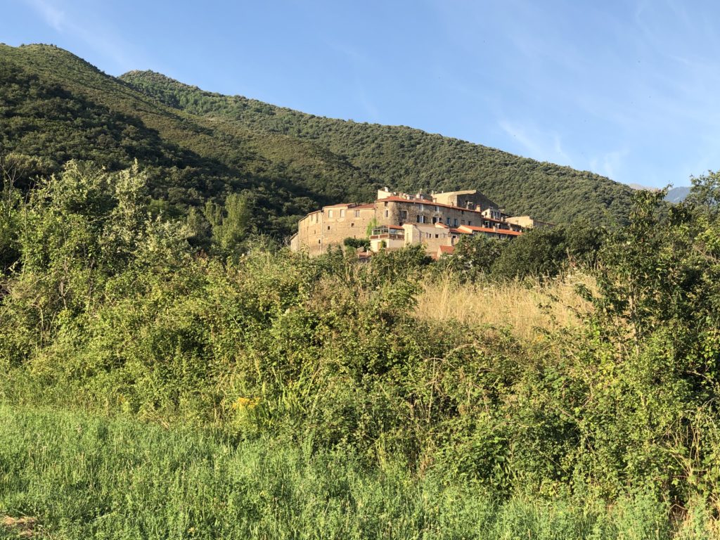
The old village is perched on a hill overlooking the Vinça plain and the Têt valley. Then there are recent housing estates stretching along the road leading to Vinça and spreading around the Mas Rouby.
In order to enjoy a magnificent virtual view of Joch, you can visit the site «visitezlepayscatalan » and its facebook page where some pages are dedicated to Joch.
Joch is part of the « communauté de communes Conflent – Canigo »